
A slow moving front will bring rounds of strong to severe thunderstorms and heavy rainfall to the central Plains eastward to the east-central U.S.. The first widespread significant heat wave of summer for the Intermountain West and Plains is expected to develop today and expand through next week. Dangerous heat will continue to impact portions of the Southwest and Southeast. Read More >
Last Map Update: Fri, Jul 10, 2026 at 10:38:35 am MDT


|
Text Product Selector (Selected product opens in current window)
|
|


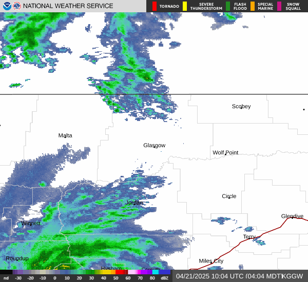
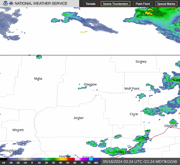 Glasgow Radar
 Satellite
 Current observations
 Forecast discussion
 Montana weather
 Fire weather
 Recreation forecasts
.png) Transportation forecast
Transportation forecast.png) Weather Prediction Center
Weather Prediction Center Storm Prediction Center
 Aviation weather
.png) Skywarn
Skywarn Weather Stats